
Geospatial AI and distributed aerial sensing
3D fusion of color and infrared aerial imagery
Aligning infrared imagery with 3D scene models in both geometry and radiometry for day–night situational awareness (UDFP).
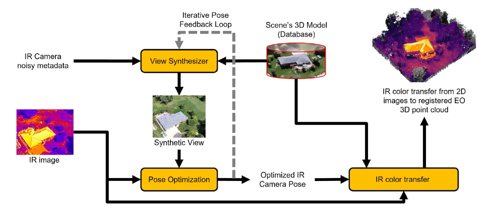
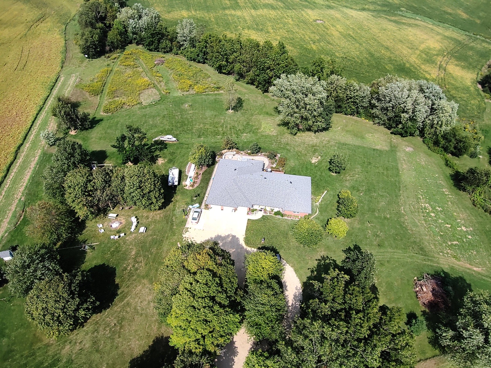
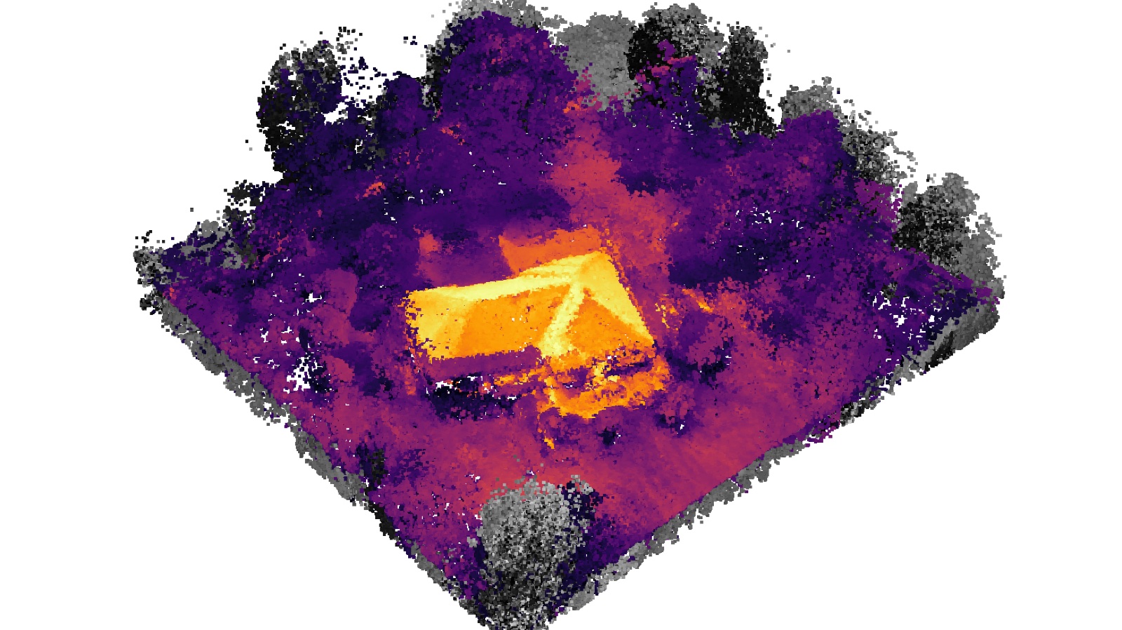
No single sensor is reliable across day, night, smoke, and motion. The Unified Dual-Modality Focal Plane (UDFP) framework aligns visible and infrared aerial imagery in both the geometric and radiometric domains: it iteratively refines the infrared camera pose against views synthesized from a 3D scene model, then transfers thermal information onto the registered 3D reconstruction.
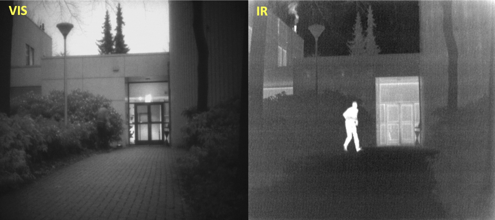
The goal is to perceive the scene as one physically consistent representation rather than as disjoint sensor readings. A complementary study fused visible and infrared imagery from uncalibrated sensors using wavelet decomposition and deep learning.
Publication
C. Vipparla, T. Krock, K. Nouduri, J. Fraser, H. Ali Akbarpour, V. Sagan, J.-R. C. Cheng, and K. Palaniappan. Fusion of Visible and Infrared Aerial Images from Uncalibrated Sensors Using Wavelet Decomposition and Deep Learning. Sensors, 2025. Paper
Sponsors
- Army Research Laboratory (ARL)
- PI — W911NF22-2-0206