
Geospatial AI and distributed aerial sensing
Edge–high performance computing for multi-domain operations
Running demanding vision and AI workloads on small, power-limited devices in the field.
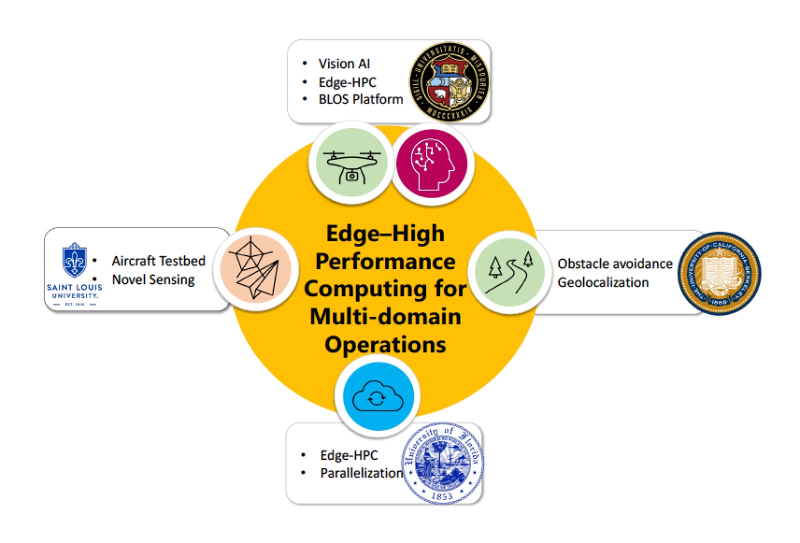
This program studies how to run computer vision and AI pipelines on compact, power-limited edge devices so that analysis happens where the data is collected rather than on a remote server. AIRLab’s contribution draws on its experience implementing real-time 3D reconstruction and tracking on embedded GPUs.
Sponsors
- U.S. Army Engineer Research and Development Center (ERDC)
- Co-PI; PI at SLU — W912HZ23C0041