
Geospatial AI and distributed aerial sensing
Real-time aerial 3D reconstruction (BA4S) and technology transfer
Fast structure-from-motion for aerial video, patented and licensed to U.S. companies for drone-based sensing.
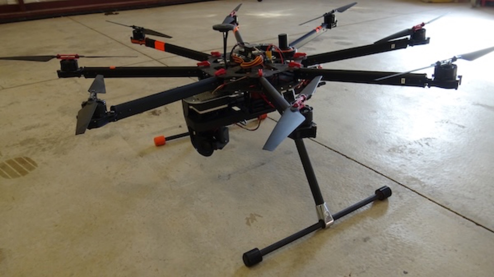
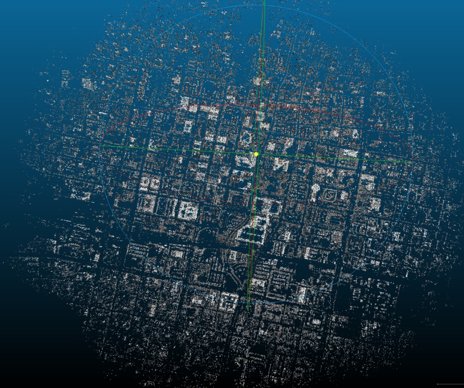
Classical multi-view 3D pipelines rely on random sampling and exhaustive optimization that are too slow for aerial video. BA4S, a RANSAC-free bundle adjustment for sequential imagery, reformulates structure-from-motion as a deterministic, adaptive optimization and achieved more than a 100-fold speedup over conventional methods, enabling near-real-time 3D reconstruction of wide-area scenes. It was complemented by parallax-tolerant georegistration and compressed feature descriptors for tracking and matching.
These methods are protected by U.S. Patents 9,959,625 B2 and 12,755,509 B2 and became the core of a software platform for structure-from-motion, feature tracking, object detection, and georegistration, licensed through the University of Missouri to U.S. companies for UAV-based sensing. The core algorithms run in C++ on NVIDIA Jetson embedded GPUs; the hexacopter shown ran the full pipeline onboard, from image capture to dense 3D point clouds. Related work received a CVPR Workshops Best Paper Award (2016).
Selected publications
H. Aliakbarpour, K. Palaniappan, and G. Seetharaman. Robust camera pose refinement and rapid SfM for multiview aerial imagery — without RANSAC. IEEE Geoscience and Remote Sensing Letters, 12(11):2203–2207, 2015.
H. Aliakbarpour, K. Palaniappan, and G. Seetharaman. Parallax-tolerant aerial image georegistration and efficient camera pose refinement — without piecewise homographies. IEEE Transactions on Geoscience and Remote Sensing, 55(8):4618–4637, 2017.